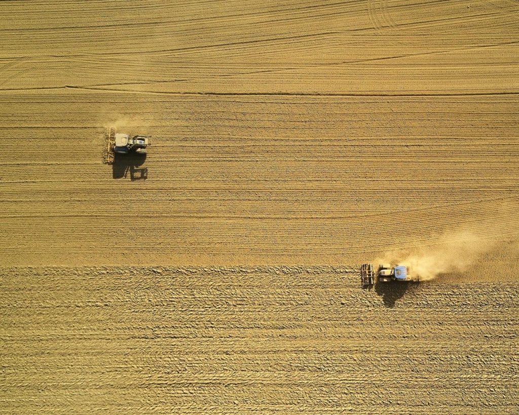
High-Resolution Imagery: We utilize satellite imagery from platforms to monitor vegetation health, soil conditions, and land use patterns.
Global Coverage: SEO provides comprehensive coverage of agricultural landscapes, enabling us to monitor biodiversity and environmental changes on a large scale.
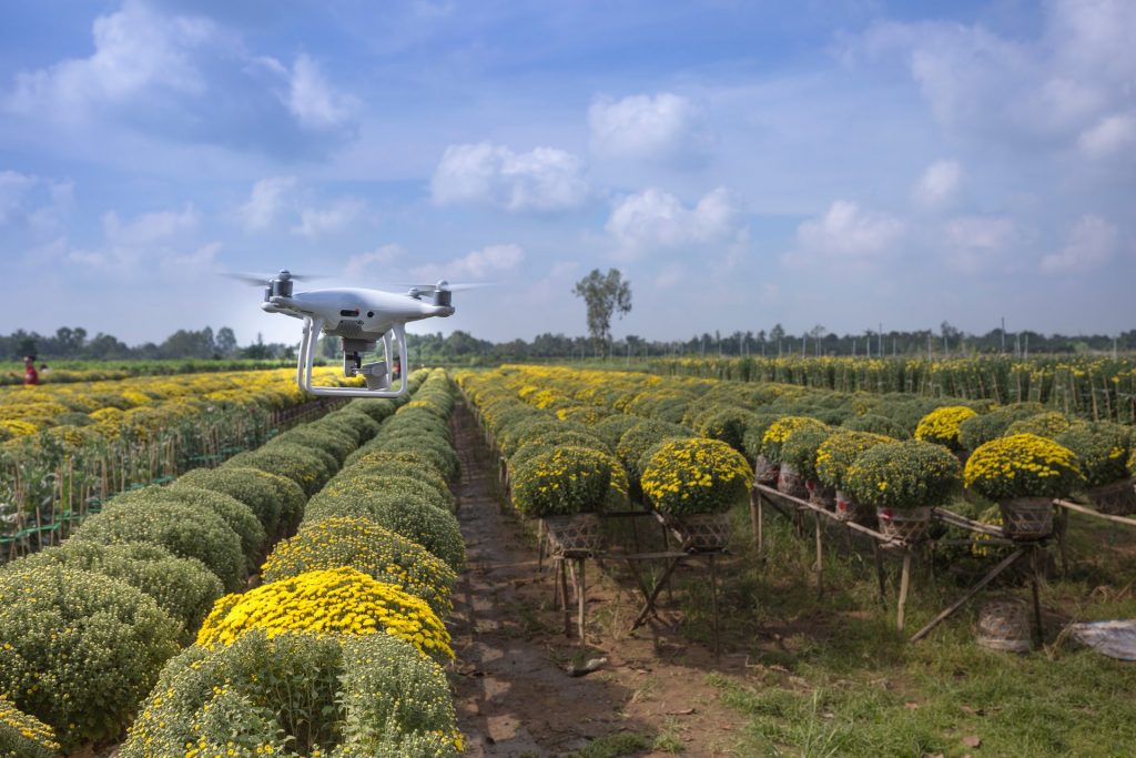
Drone-Based Sensors
Drone-Based Sensors
Multispectral and Hyperspectral Imaging: Our drones are equipped with advanced sensors that capture detailed spectral data, providing insights into plant health, soil moisture, and nutrient levels.
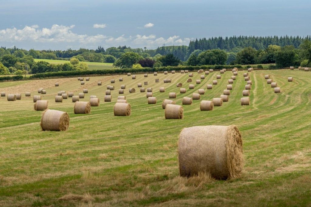
High-Resolution Mapping: Drone technology allows us to create high-resolution maps of agricultural fields, enabling precise monitoring and management.
Field-Level Insights: Drones provide granular data that complements satellite imagery, enhancing the accuracy of our analyses.
Drone-Based Sensors
Multispectral and Hyperspectral Imaging: Our drones are equipped with advanced sensors that capture detailed spectral data, providing insights into plant health, soil moisture, and nutrient levels.
High-Resolution Mapping: Drone technology allows us to create high-resolution maps of agricultural fields, enabling precise monitoring and management.
Field-Level Insights: Drones provide granular data that complements satellite imagery, enhancing the accuracy of our analyses.
Machine Learning and Artificial Intelligence (AI)
Machine Learning and Artificial Intelligence (AI)
Predictive Analytics: We use machine learning algorithms to predict biodiversity trends and identify areas requiring conservation efforts.
Data Integration: AI enables us to integrate data from multiple sources, including satellite imagery, drone data, and field measurements, to provide comprehensive insights.
Automated Analysis: Our AI-driven tools automate the analysis of complex datasets, reducing the time and effort required for data interpretation.